Smart city application based on spatiotemporal big data
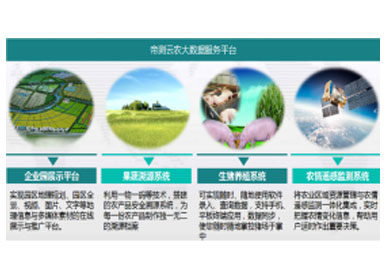
Smart countryside and smart agriculture
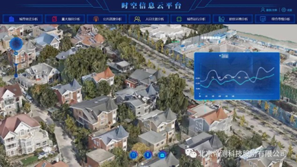
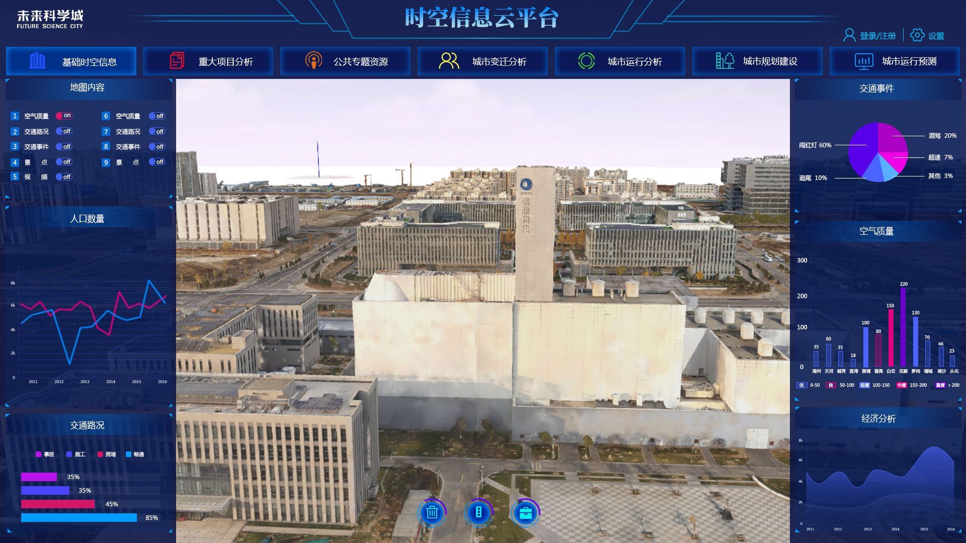
A picture of spatiotemporal information
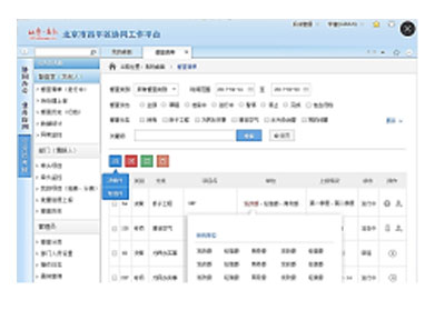
Smart community and town brain
Thematic business application system
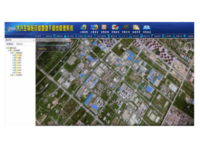
Digsur boasts such core technologies as multi-source data collection and integration processing, three-dimensional stereo modeling, extended Kalman filter rotor attitude calculation, and a smart map of spatio-temporal information, which can be utilized to crack technical problems encountered in multi-source data collection and information retention, smart city big data integration, and three-dimensional stereo modeling. Therefore, it can be innovatively applied to GIS projects such as the smart pipe network of Daxing Biomedical Base and a map of the space-time information of the future science city.