HOME > SOLUTIONS
NATURAL DISASTER SURVEY
Digsur adopts multi-disciplinary, multi professional fusion technology (including mobile measurement system and unmanned aerial vehicle remote sensing), and provides professional technical support for the emergency investigation of natural disasters .

109 National Highway Geological Disaster Emergency Surveying and Mapping


SOLUTIONS
-
 MUNICIPAL CONSTRUCTION PROJECTSMunicipal engineering surveying is the surveying work carried out for the planning and design, construction lofting and completion of municipal en...
 -
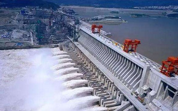 WATER CONSERVANCY INDUSTRYWater conservancy project refers to projects used to control and allocate surface water and groundwater in the natural world for the purpose of el...
 -
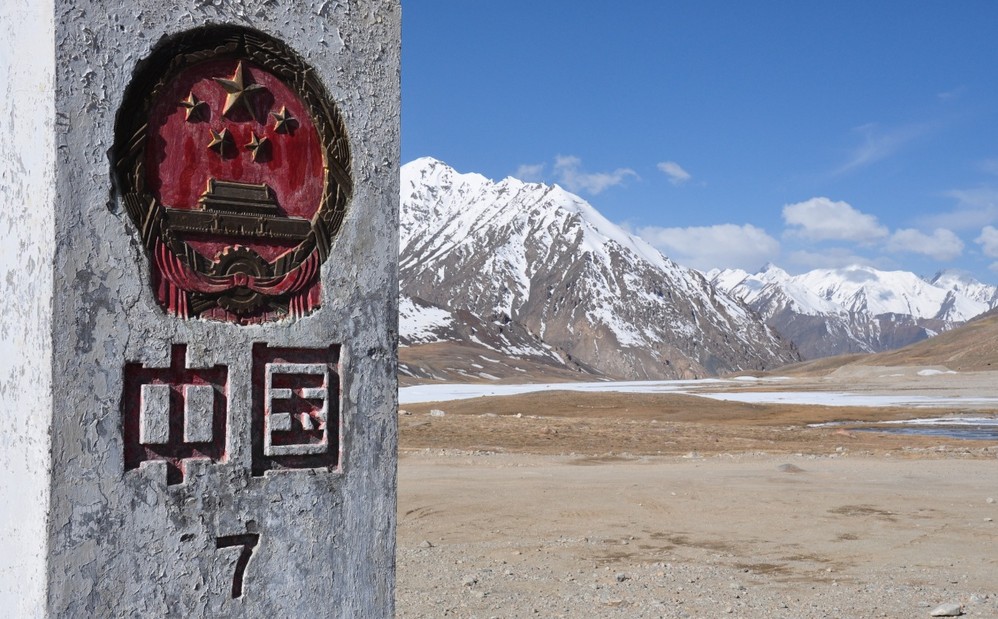 COUNTY CIVIL AFFAIRS DEPARTMENTSLand boundary survey (land boundary survey) is a survey of administrative areas and parcel boundaries, boundary points, important landmark facilit...