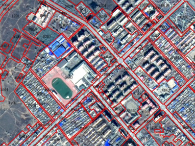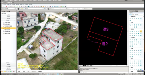
Real estate mapping and land-use right confirmation
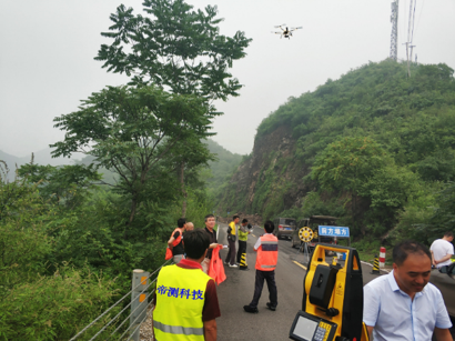
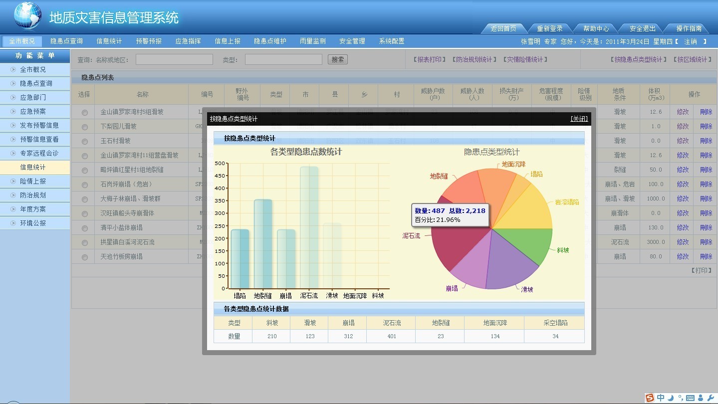
Engineering geological surveying and landslide monitoring
Land planning and improvement surveying
Channel, underwater and underground surveying
Ecological environment monitoring
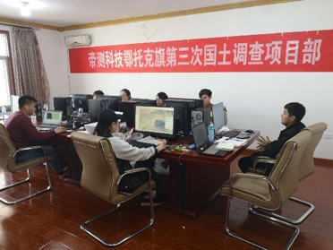
Digsur possesses professional teams in aerial photography、remote sensing data processing, automatic monitoring and geology investigation to realize the information acquisition, data analysis, disaster assessment, forecasting and early warning of integrated air-space-ground geological disasters. We presided over such projects as the land-use right confirmation registration project, the third national survey project, the landslide monitoring and evaluation, and the construction and construction safety operation monitoring over many counties and cities across the country.